Rangipo Intake and Waipakihi Road Access
12 August 2022
Herenga ā Nuku/Aotearoa Outdoor Access Commission (FKA Walking Access Commission) has recently received enquiries about public access from the Desert Road to Kaimanawa State Forest Park. Historically access for recreation has used formed roadways like Waipakihi and Rangipo Intake.
They have completed research into the background and legal status of the land relevant to Rangipo Intake and Waipakihi Roads.

Kaimanawa Forest Park is a popular Sika hunting area.
These formed accessways originated from the Tongariro Power Scheme. The Crown took the Waipakihi and Rangipo Intake accessways in the 1960s under the Public Works Act to develop the power scheme, and held them as Crown land. The Crown accepted public use during the time it held the land. The land is now being returned to the former or adjacent landowners.
These formed accessways were never dedicated as legal roads. Once the land that this formed access traverses is returned to the former or adjacent landowners, the formed access will be private access on private land.
Herenga ā Nuku has a statutory role of enhancing and maintaining public access. This includes supporting private property rights and advocating for public access rights where they exist.
Waipakihi road
In 1968 the Waipakihi access was surveyed (survey plan SO 27023). This was for work associated with the Tongariro Power Scheme. NZ Gazette 1968, page 1344, then gazetted the access under the Public Works Act as land taken for the development of waterpower.
The Ministry of Works also took a gravel extraction area at the eastern end of Waipakihi road at the same time as the accessway. This was for the shingle to build the dam. The purpose of the Waipakihi accessway was to access the gravel as part of the waterpower development. Genesis Energy would have no current need for an easement over this area. The Crown land taken for the development of waterpower, known as Waipakihi road, would not be needed for the original purpose anymore.
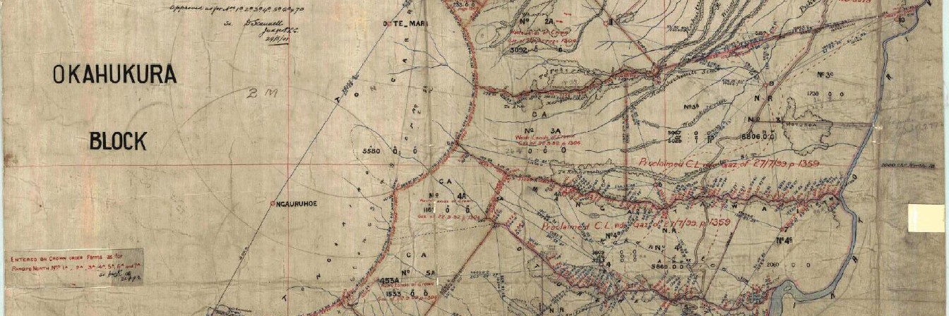
In 2009 the survey plan ML 421774 was approved to allow private freehold title to be issued. The accessway is shown through the middle of this plan and labelled ‘Part Rangipo North 7C Block’. The private land title parcels sit on either side of the access land. The access land is not part of the private land parcels.
Head to the Herenga ā Nuku blog to view supporting documents, titles, surveys and notices.
Rangipo Intake road
In 1971 the Rangipo access and dam site were surveyed (survey plan SO 28281). This was for work associated with the Tongariro Power Scheme. NZ Gazette 1973, page 2681, gazetted the access under the Public Works Act as land taken for the generation of electricity.
The purpose of the Rangipo accessway was to access the dam site used for the generation of electricity. Genesis Energy needs to use the Rangipo accessway to get to the dam and intake site.
In 2009 the survey plan ML 426955 was approved as part of the project to capture private land spatially. The accessway is shown through the middle of this plan and labelled ‘Part Rangipo North No 6C Block’. ‘The private land parcels sit on either side of the access land. The access land is not part of the private land parcels.
Head to the Herenga ā Nuku blog to view supporting documents, titles, surveys and notices.
Legislation
Head to the Herenga ā Nuku blog to access this information.
What's Next
Both ‘roads’ were never taken as a road at any time but for a specific purpose associated with the development and generation of electricity. They were held as Crown land for that purpose. Their investigations have determined that the accessways are still held as Crown land.
Herenga ā Nuku will continue to research this further. They are engaging with others to understand matters fully. We will include any further information here that becomes available.